
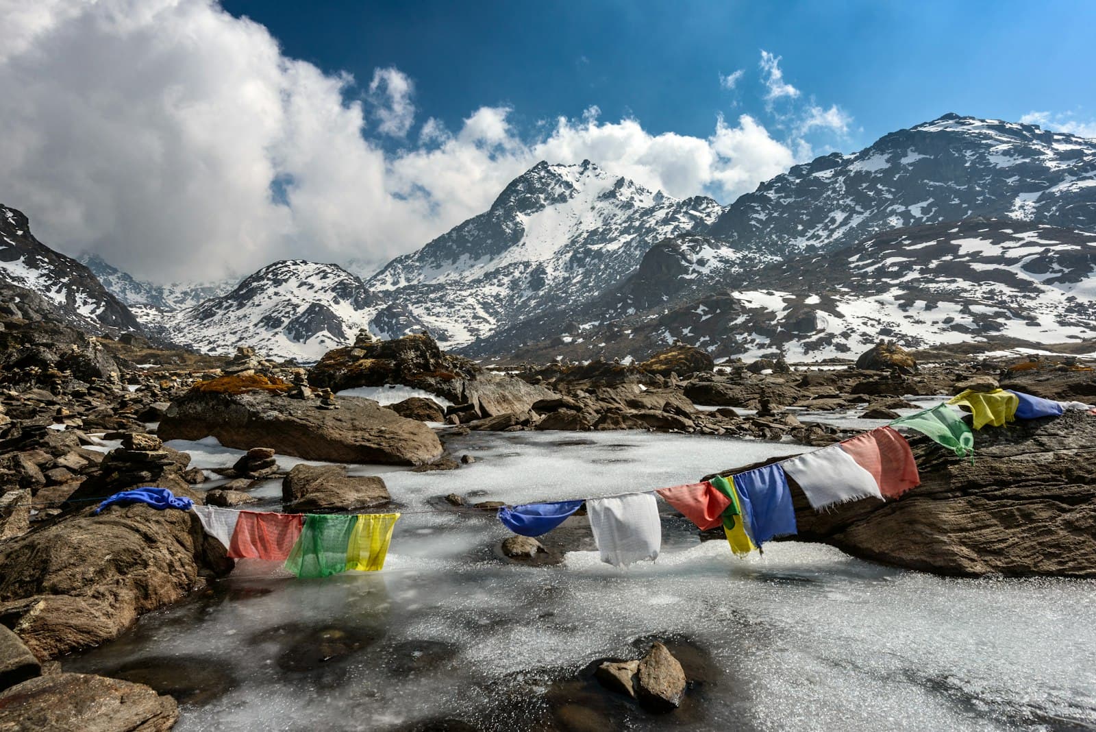
Thorong La and Back: A First-Person Dispatch from the Annapurna Circuit
Dawn in Manang: Where the Annapurna Circuit Turns Serious
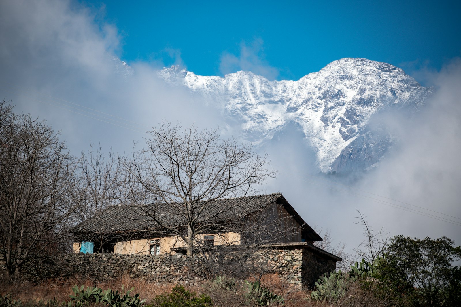
I woke in Manang at 3,540 metres with a headache I was pretending not to have and a window frosted on the inside. Downstairs at the Hotel Yeti, the wood stove was already lit, and a Dutch couple was arguing quietly about whether their Diamox was working. Up here the trail stops being a walk and starts being a decision made one breath at a time.
I'd come in on the standard route through the lower Marsyangdi valley, seven days of rhododendron forest and swinging bridges behind me. What lay ahead was the part everyone asks about: Manang to Muktinath, four days, one 5,416-metre pass, and no way down except through it.
“Above 4,000 metres the mountain doesn't care how fit you were at sea level. It only cares what you did yesterday.”
Four Days, One Pass: Manang to Muktinath on Foot
Acclimatization Day in Manang — Ice Lake and Doing Nothing Well
The classic advice is 'climb high, sleep low,' and in Manang that means a day hike up to Ice Lake at roughly 4,600 metres before dropping back to sleep at 3,540 metres. It's a hard 5-6 hour round trip, closer to a full trekking day than a rest day, and my calves told me so for the next 48 hours.
I skipped the bakery cinnamon rolls everyone raves about at Manang's German Bakery and stuck to garlic soup instead — garlic is the unofficial altitude remedy up here, and whether it does anything physiologically or not, it tastes right at 3,500 metres.
Manang to Yak Kharka — Trees Disappear, the Valley Opens
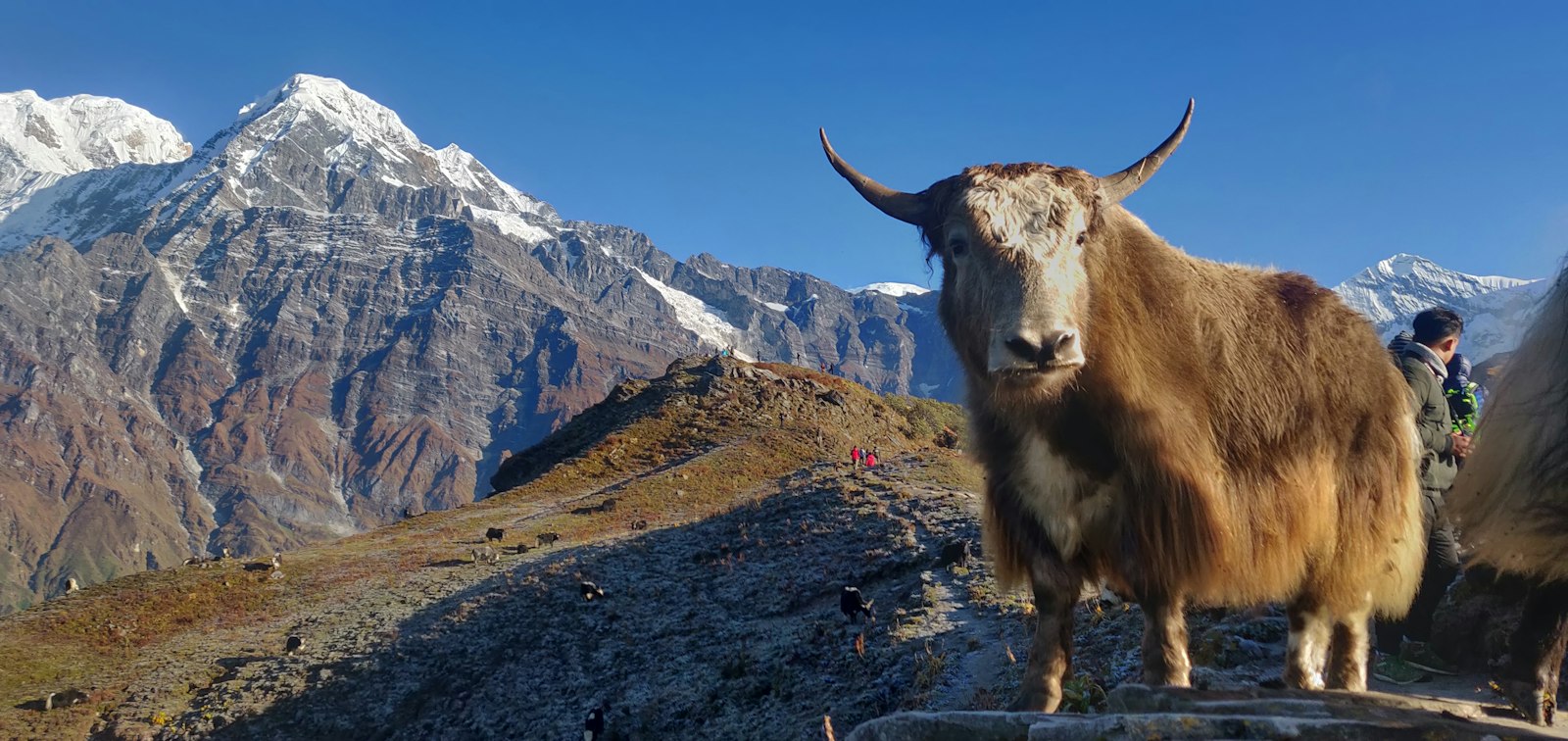
The walk out of Manang to Yak Kharka is short on paper, about 7-8 kilometres and 3-4 hours, but the altitude gain from 3,540 to roughly 4,018 metres makes every uphill step feel like it costs double. Trees give up entirely here. The trail runs along the Marsyangdi's upper reaches, thin and silver, with the valley walls closing in grey and treeless.
I stayed at the Potala Guest House in Yak Kharka, a simple teahouse with a shared squat toilet down an icy corridor and a dining room warmed by a single yak-dung stove. A plate of dal bhat ran about 400-500 Nepali rupees, and refills were free, which matters when you're burning through calories you can't replace up here.
Yak Kharka to High Camp — Thin Air and a Short, Mean Climb
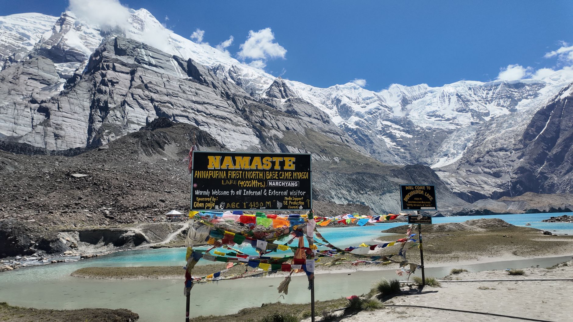
Most trekkers push from Yak Kharka to Thorong Phedi at 4,450 metres, then climb another hour to High Camp at roughly 4,850 metres to shorten the pass-day push. I did both: about 9-10 kilometres and 5-6 hours total, with the last stretch to High Camp a genuinely steep scramble that left me gasping every twenty steps.
High Camp is bare rock and wind, a cluster of three or four teahouses that all charge similarly inflated prices for everything — a bottle of boiled water ran NPR 300-400, far more than lower down, because every kilo gets carried up on someone's back. I was asleep by 7:30pm, which has never happened to me anywhere else on earth.
Pass Day: High Camp Over Thorong La to Muktinath
Alarms went off at 3:45am. We left High Camp by headlamp around 4:30am, part of a loose chain of lights snaking up the switchbacks in the dark. The climb to the pass itself is roughly 5-6 kilometres and took me close to 4 hours, with the air so thin that I counted my steps in groups of ten just to keep moving.
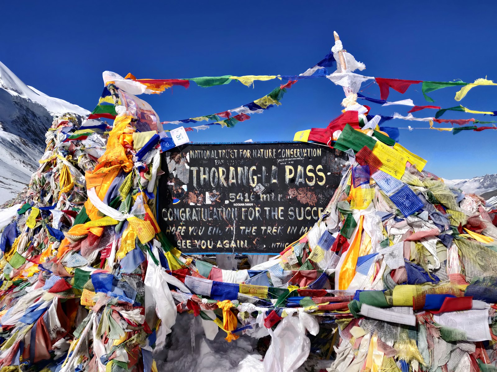
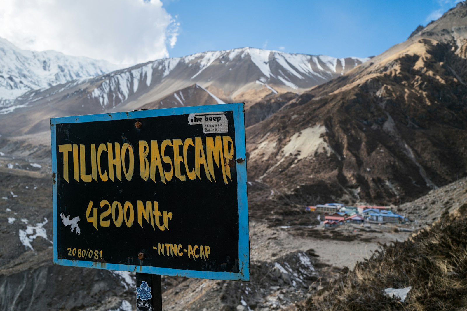
Thorong La sits at 5,416 metres, marked by a cairn wrapped in prayer flags and a weathered sign that every single trekker photographs. The wind at the top was brutal enough that I didn't linger past fifteen minutes before starting the long descent — nearly 1,600 vertical metres down to Muktinath at 3,760 metres, which took another 4-5 punishing hours on knees that had nothing left to give.
All told it's a 15-16 kilometre day with roughly 8-9 hours of moving time, not counting stops. Rate it honestly: this is the hardest single day most trekkers will ever walk, altitude and distance combined, and no amount of fitness at sea level fully prepares you for breathing at 5,400 metres.
Muktinath to Jomsom — Legs Done, Temple Bells Still Ringing
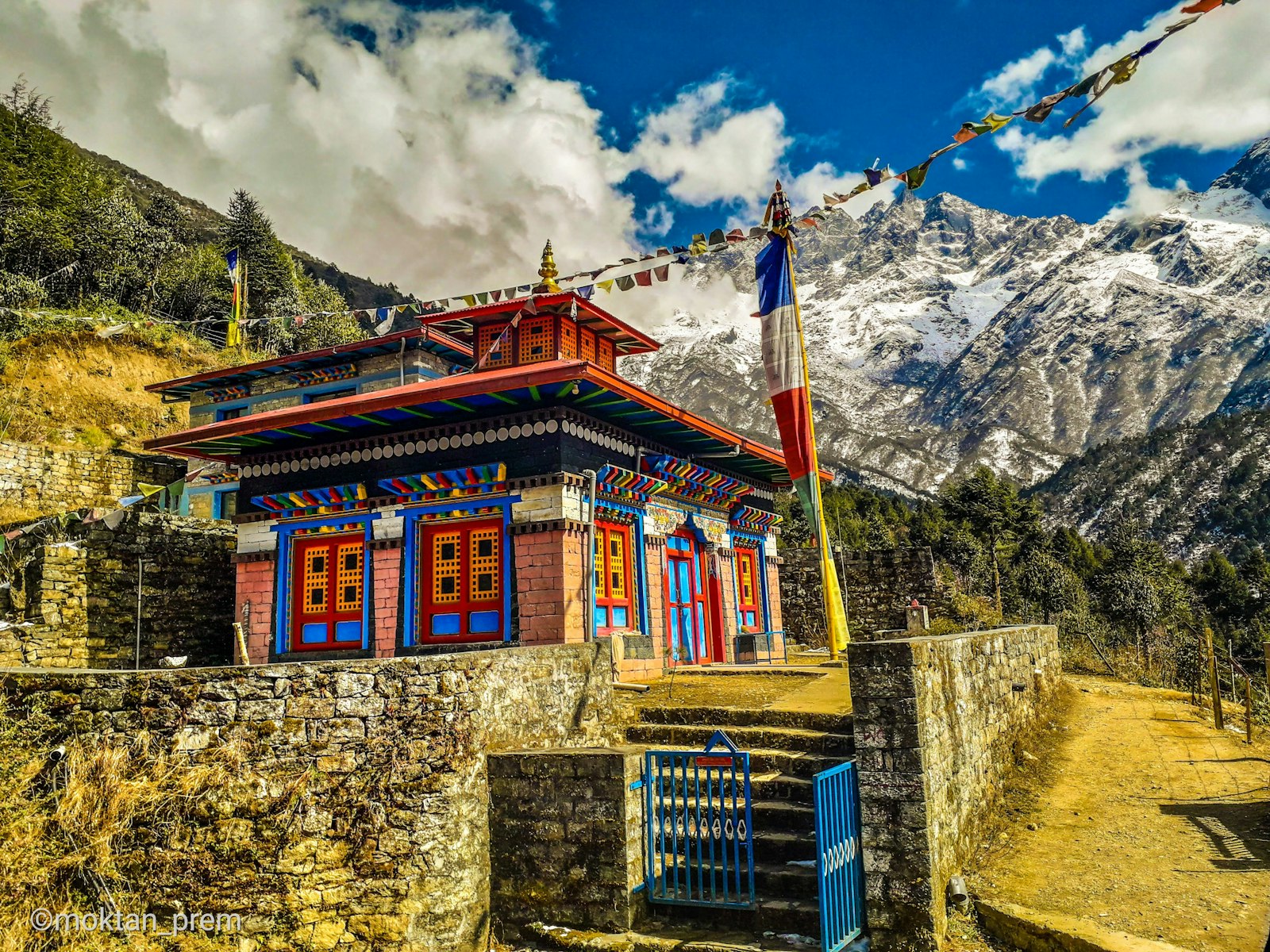
Muktinath itself is worth the extra half-day most people rush past. The temple complex, sacred to both Hindus and Buddhists, has 108 water spouts that pilgrims pass under even in near-freezing air, and I watched a woman in her seventies do it without flinching.
From Muktinath, a rough jeep track or a further day's walk drops you to Jomsom at 2,720 metres, where the Kali Gandaki valley turns into a wind tunnel by mid-morning and the first flights back toward Pokhara start lifting off around 7am, weather permitting.
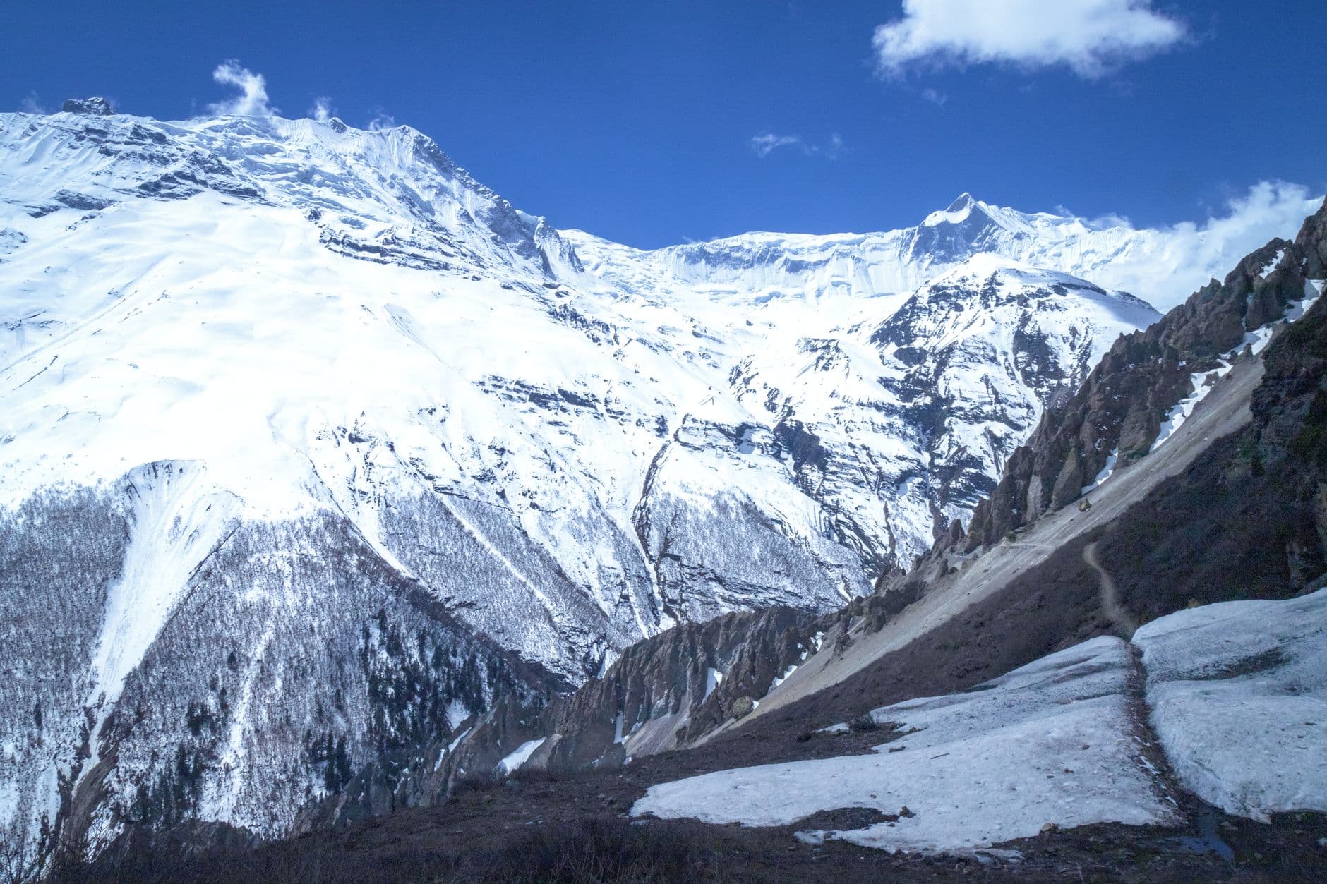
Manang to Muktinath, in Pictures
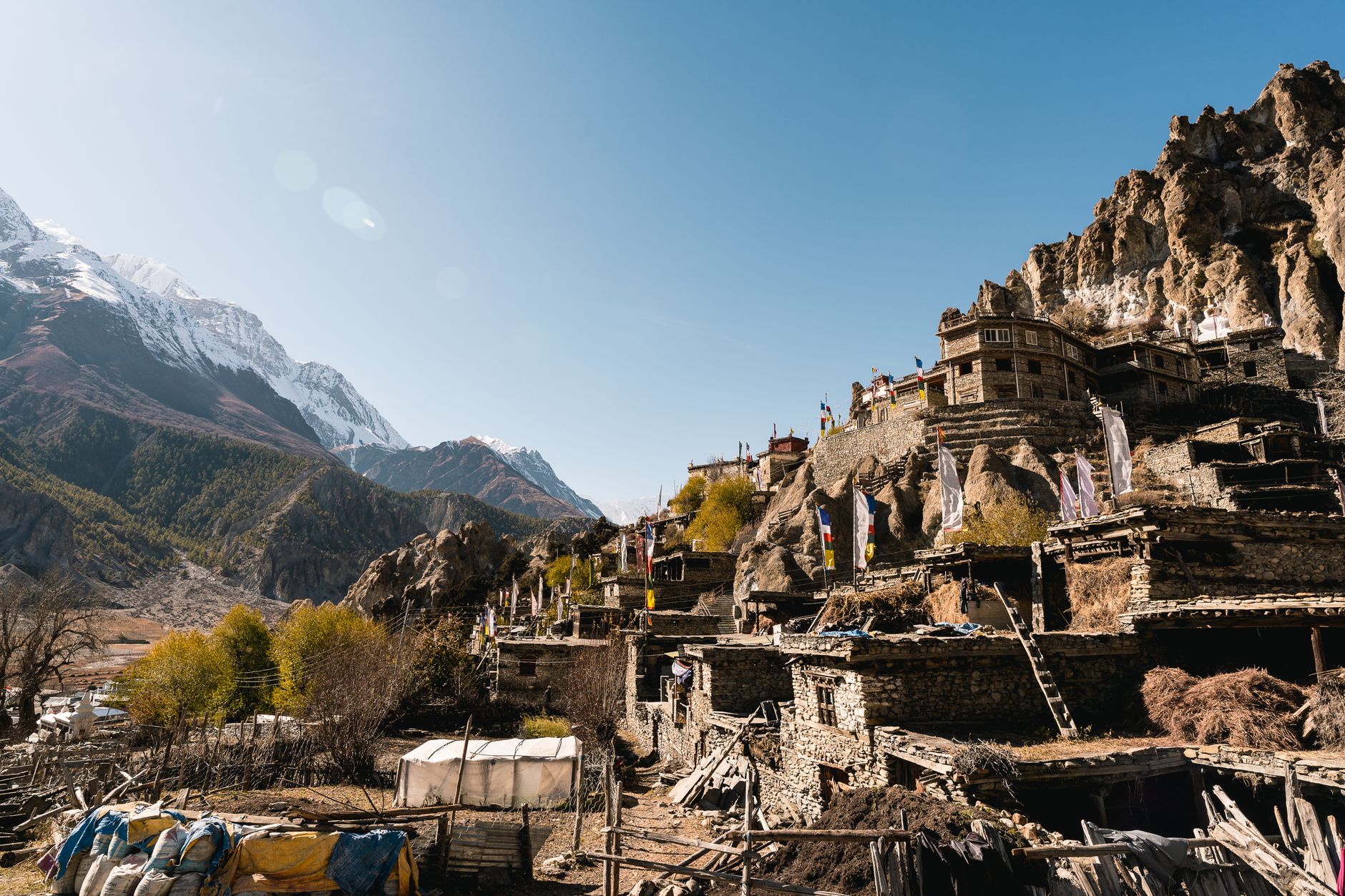
Permits, Guides and the Best Booking Windows
Cordelie travel advisors
Planning Annapurna Circuit? Go with someone who knows
The right suite, the right season, the reservations that never appear online — your Cordelie advisor knows them, and holds them for you.
Plan with a Cordelie advisorFree to ask. Cordelie Travel Services · IATA/ARC 06649064
The View From 5,416 Metres: What Stays With You
The obvious standout is the summit of Thorong La itself: a 360-degree wall of peaks including Chulu East and West to the north and the Annapurna massif pressing in from the south. But what actually stuck with me longer was the half hour just before dawn on pass day, when the headlamp line stretched ahead and behind for what looked like a kilometre, strangers breathing in rhythm together in the dark.
The acclimatization day out of Manang deserves more credit than it gets. If you have an extra afternoon in the Manang area, the side trips covered in the region's best side excursions are worth building into your schedule rather than treating as optional — the lung capacity you gain there is what gets you over the pass four days later.
The other thing nobody warns you about: the descent. Everyone trains mentally for the climb to Thorong La and forgets that the 1,600-metre drop to Muktinath on the far side is where quads actually fail. I passed two separate trekkers sitting on rocks, done in, still an hour above the valley floor. Pack trekking poles, use them on the way down, and don't be proud about it.
Dal Bhat, Garlic Soup and the Teahouse Kitchens That Keep You Moving
Food on this stretch is functional rather than fine dining, and that's exactly as it should be. Dal bhat — lentils, rice, a vegetable curry, often a thin potato or spinach side — is the trekker's staple because most teahouses offer free refills, and at altitude you need the calories more than you need variety.
Garlic soup shows up on every single menu from Manang upward, thin and peppery, and I ate a bowl before nearly every dinner on principle. Prices climb steadily with elevation: a plate of dal bhat that costs NPR 350-400 in Manang runs closer to NPR 600-700 by High Camp, simply because every vegetable, every gas canister, arrives on a mule's back or a porter's shoulders.
Hot drinks matter more than you'd expect. Ginger-lemon-honey tea became my ritual at every stop, partly for the warmth and partly because it settled a stomach that altitude had scrambled. Skip the instant coffee at High Camp — it's weak, overpriced at roughly NPR 250-300 a cup, and does nothing for a 3:45am wake-up call except give you something warm to hold.
Getting the acclimatization schedule right — and the teahouse bookings to match, during the busiest weeks of spring — is where most independent planning goes wrong before a single step is taken.
A Cordelie advisor builds your Annapurna Circuit itinerary around the days your body actually needs, pairs you with a vetted guide suited to your pace, and secures the Manang-to-Muktinath teahouses that fill first each April and May. You arrive at High Camp already knowing where you're sleeping and who you're walking with.
Is the Manang-to-Muktinath Stretch Right for You?
A legitimately hard, legitimately rewarding four days — best suited to fit, patient hikers who respect altitude rather than race it.
This stretch of the Annapurna Circuit is not a casual add-on to a Nepal trip; it's the trip's centerpiece and its hardest obstacle in the same four days. Expect roughly 40 kilometres of walking between Manang and Muktinath, a net altitude swing from 3,540 metres up to 5,416 metres and back down to 3,760 metres, and one genuinely grueling pass day of 8-9 hours.
For readers who want a serious physical challenge with a clear, singular objective — the pass, the sign, the prayer flags — this delivers completely. For anyone managing joint issues, limited time, or altitude sensitivity, this is the section of the circuit to plan around most carefully, with real rest days and a guide who will tell you honestly when to turn back.

Marcus Rivera has spent fifteen years writing about places you have to walk into. He has guided in Patagonia, reported from Kilimanjaro's quieter routes, and has strong opinions about which of them are worth the airfare. He is based in Boulder, mostly so he can leave it.
Related Articles
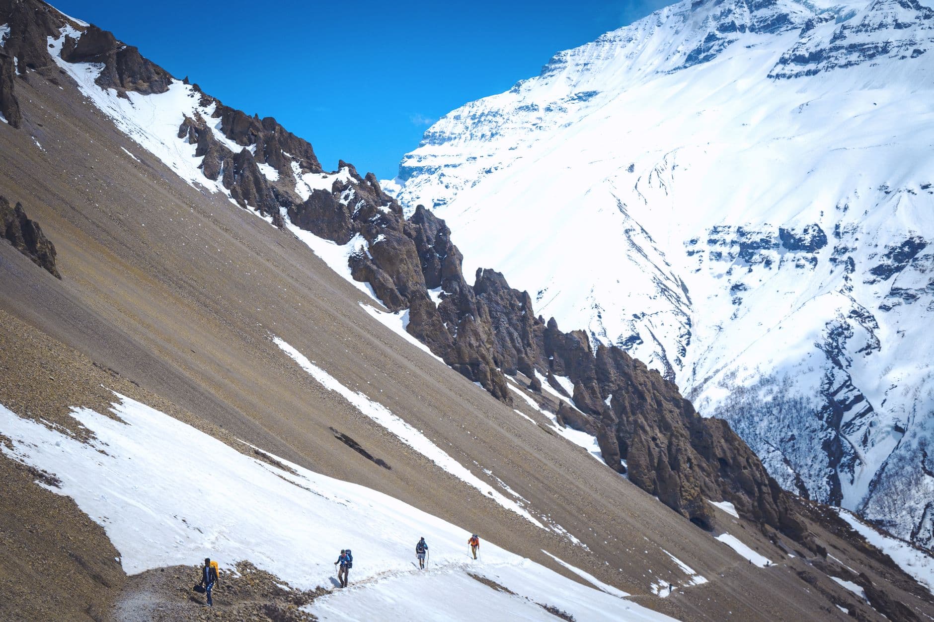
Annapurna Circuit Quick Guide: Everything You Need to Know
Winter trekking on the Annapurna Circuit is possible but demands patience: Thorong La pass closes under snow for weeks, and you must time your arrival in Manang with a weather window and the resolve to turn back if it does not come.

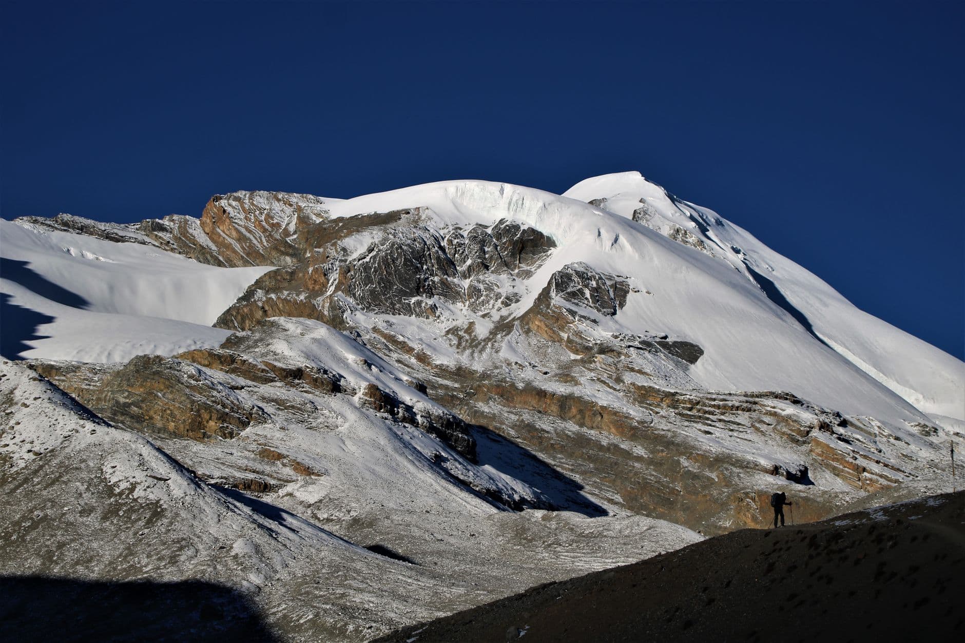
My Winter in Annapurna Circuit: A Travel Story
A first-person winter trek up the Annapurna Circuit to Manang and Khangsar, where fresh snow on Thorong La forced a turnaround — and left villages, and dal bhat, all to myself.
The Best Things to Do in Annapurna Circuit
Poon Hill at dawn, Muktinath's eternal flame, Marpha's apple brandy: a ranked, winter-honest guide to the Annapurna Circuit's best stops and which ones to save for spring.