
America's Favorite Drive: A Week on the Blue Ridge Parkway

Mile Zero at Rockfish Gap: Where the Parkway Finds Its Legs
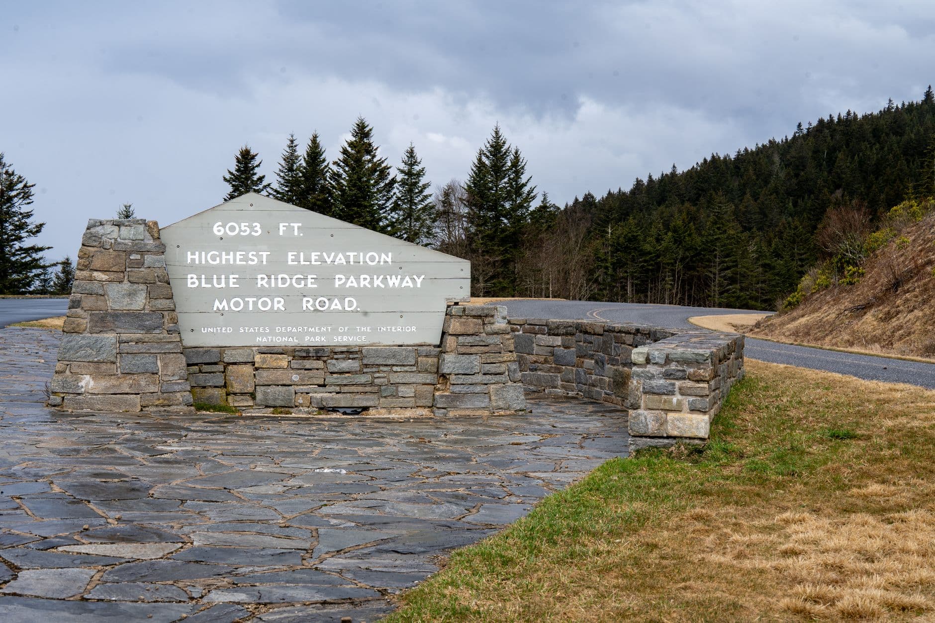
The sign at mile marker 0 is smaller than you expect for the start of something this long. It sits just off I-64 outside Waynesboro, Virginia, where the Blue Ridge Parkway peels away from Shenandoah National Park's Skyline Drive and begins its slow, switchbacking crawl south.
I pulled into the gravel apron at Rockfish Gap at 7:40 a.m. on a Tuesday in late April, redbud and serviceberry still holding bloom in the understory, the air carrying that particular cold-wet-leaf smell of a Blue Ridge morning. My plan was simple on paper: drive the Parkway from Virginia into North Carolina over five days, stopping at every overlook that looked worth the brake pads, eating whatever the small towns put in front of me, and hiking the legs that got my blood moving before noon.
What the map doesn't tell you is how much the road itself becomes the destination. There's no shoulder most places, the speed limit tops out at 45 mph and drops to 25 or less through the tight curves, and the posted mile markers are the only reliable way to know where you are, since cell service disappears for long stretches above 3,000 feet. Pack a paper map or download offline tiles before you go — the National Park Service's free Blue Ridge Parkway app works without signal once it's loaded.
“You don't drive the Parkway so much as negotiate with it, curve by curve, overlook by overlook, until the valley floor finally lets you go.”
Five Days, 469 Miles: From Waynesboro to Cherokee Mile by Mile
Rockfish Gap to Peaks of Otter — Mile 0 to Mile 85.9
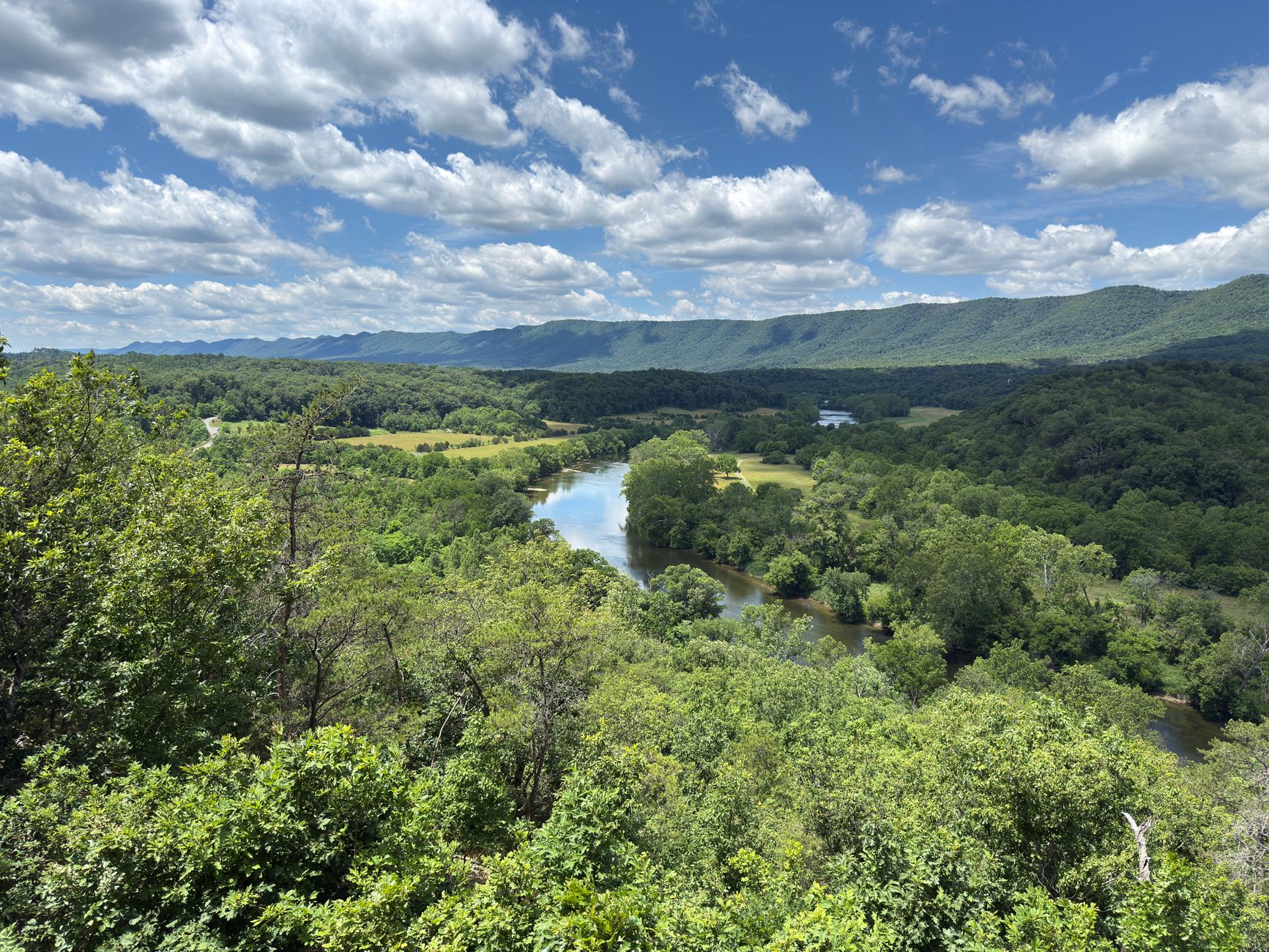
The first real stop is Humpback Rocks at mile 5.8, and it's a gut-check for day one: a 1.5-mile loop trail that climbs roughly 800 feet in under a mile to a quartzite outcrop with a 180-degree view back toward the Shenandoah Valley. Call this moderate-to-strenuous, not easy — the final scramble over rock requires both hands, and trail shoes with real tread beat sneakers here.
From there the road settles into a rhythm: pull off, look, drive, repeat. The James River Visitor Center at mile 63.6 marks the Parkway's lowest point at 649 feet, and the short boardwalk out to the restored lock on the Kanawha Canal is worth the five-minute detour even if you skip the longer riverside trail.
I rolled into Peaks of Otter Lodge at mile 85.9 around 5 p.m., legs stiff from the Humpback Rocks climb, and sat on the lodge's lakeside deck watching Sharp Top catch the last orange light. Rooms here run roughly $150-220 a night in spring depending on the view, and the lodge restaurant's trout, pulled from local waters, is the better order over the burger.
Peaks of Otter to the Virginia-North Carolina Line — Mile 85.9 to Mile 216.9
This is the longest driving day of the trip, and the Parkway earns every minute of it. Smart View at mile 154.5 lives up to its name with an easy half-mile loop and one of the best picnic spots on the whole route — bring food, since services thin out fast through this stretch.
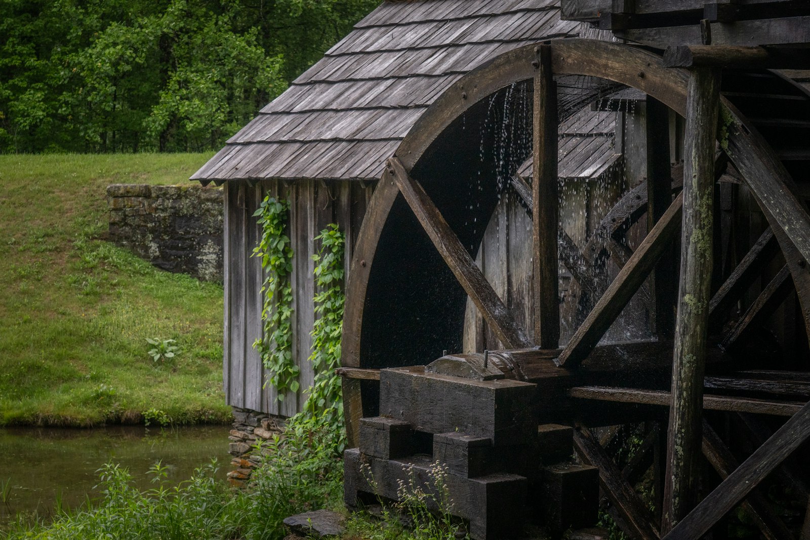
Mabry Mill at mile 176.2 is the single most photographed spot on the Virginia section, an 1910s water-powered gristmill reflected in its own millpond, and the on-site restaurant's buckwheat pancakes with real sorghum are worth the 20-minute wait that builds most spring mornings after 9 a.m. A few miles on, Groundhog Mountain at mile 188.8 has a wooden observation tower and split-rail fences worth the short walk even if you've seen a dozen overlooks already that day.
I detoured off the Parkway at Tuggle Gap near mile 165, dropping down Route 8 to Floyd, Virginia, for lunch at the Blue Ridge Restaurant and a growler fill at Buffalo Mountain Brewing before climbing back onto the ridge. The Virginia-North Carolina state line arrives quietly around mile 216.9, with no fanfare beyond a small sign — I spent the night in Galax, Virginia, just off the Parkway, so I could backtrack for an early look at the Blue Ridge Music Center near mile 213.
Into North Carolina — Cumberland Knob to the Linn Cove Viaduct — Mile 217 to Mile 304.4
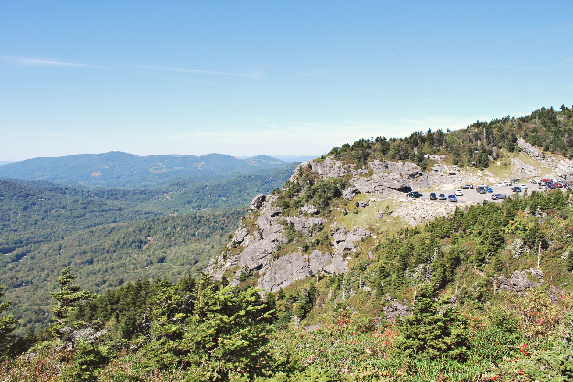
North Carolina's section of the Parkway announces itself with higher peaks and tighter switchbacks almost immediately. Doughton Park at mile 241.1 has the Brinegar Cabin, an 1880s homestead you can walk right up to, and the Bluffs trail network for a quick leg-stretch without committing to a full hike.
By early afternoon I reached Moses H. Cone Memorial Park at mile 294, near Blowing Rock, where 25 miles of carriage trails loop around Flat Top Manor — flat, wide, and a welcome break for tired knees. Then came the Linn Cove Viaduct at mile 304.4, the Parkway's signature engineering feat, a 1,243-foot concrete ribbon that curls around Grandfather Mountain without a single pier driven into the slope above it.
Note on timing: this stretch sometimes closes for ice damage repair or lingering snow well into spring, so check nps.gov/blri for current closures before you build a trip around it — I got lucky with a dry, 58-degree afternoon in late April. I overnighted in Blowing Rock, where Storie Street Grille handles a solid trout dinner and the town's walkable main street makes a good excuse to leave the car for a few hours.
Linville Falls to Asheville — Mile 316.4 to Mile 382
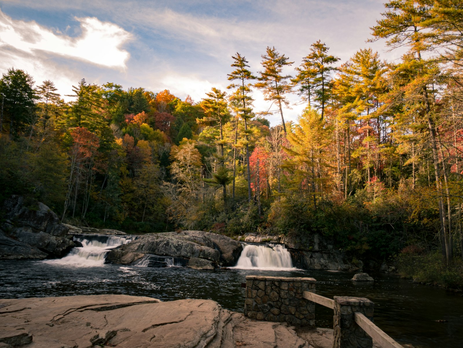
Linville Falls at mile 316.4 is the stop I'd tell anyone not to rush: the trail to Erwins View is only 1.6 miles round trip, but it's rocky and uneven in sections, and the payoff is a three-tiered waterfall drop you can't see from the road. Budget 45 minutes to an hour, more if the overlook is busy, which it often is by late morning.
The spur road to Mount Mitchell State Park near mile 355 climbs to the summit of the highest peak east of the Mississippi, at 6,684 feet, and the air temperature can run 15-20 degrees cooler than the valley you left that morning — I kept a fleece in the car for exactly this reason and still wished I'd brought gloves. Craggy Gardens, around mile 364.6, is better known for its June rhododendron bloom, but in late April the exposed balds still deliver long views down into Asheville's basin.
I rolled into the Folk Art Center at mile 382 by late afternoon, a free Southern Highland Craft Guild gallery worth 30 minutes, before dropping into Asheville proper for the night. Dinner was at Buxton Hall Barbecue for whole-hog plates, with a nightcap at Burial Beer Co.'s South Slope taproom — both a short walk from most downtown hotels.
Mount Pisgah to the Parkway's End at Cherokee — Mile 408.6 to Mile 469
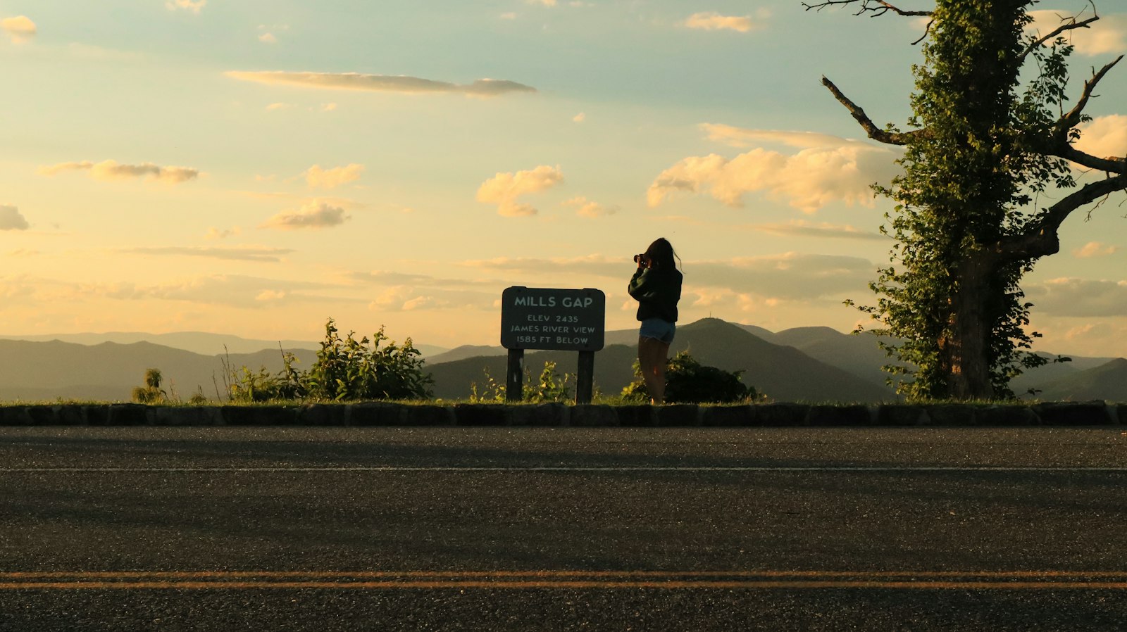
The final day climbs the hardest. Mount Pisgah at mile 408.6 has a 1.6-mile round-trip trail to the summit that gains roughly 700 feet in steep, root-tangled switchbacks — call it strenuous, not a stroll, and give yourself 75-90 minutes with stops. Devil's Courthouse at mile 422.4 is shorter but just as steep, a half-mile paved-then-rocky climb to a rock outcrop with views into four states on a clear day.
Richland Balsam, near mile 431.4, is the actual high point of the entire Parkway at 6,047 feet, marked by an easy half-mile loop through a spruce-fir forest that feels more like Maine than the South. Waterrock Knob at mile 451.2 delivers the trip's last big view before the descent toward Cherokee begins.
The Parkway officially ends at mile 469, at the Oconaluftee Visitor Center on the edge of the Great Smoky Mountains National Park, just outside Cherokee, North Carolina. I pulled in a little past 4 p.m., tires dusty, legs sore from five days of short strenuous hikes, and sat on the visitor center steps for a long minute before heading in to find dinner in town.
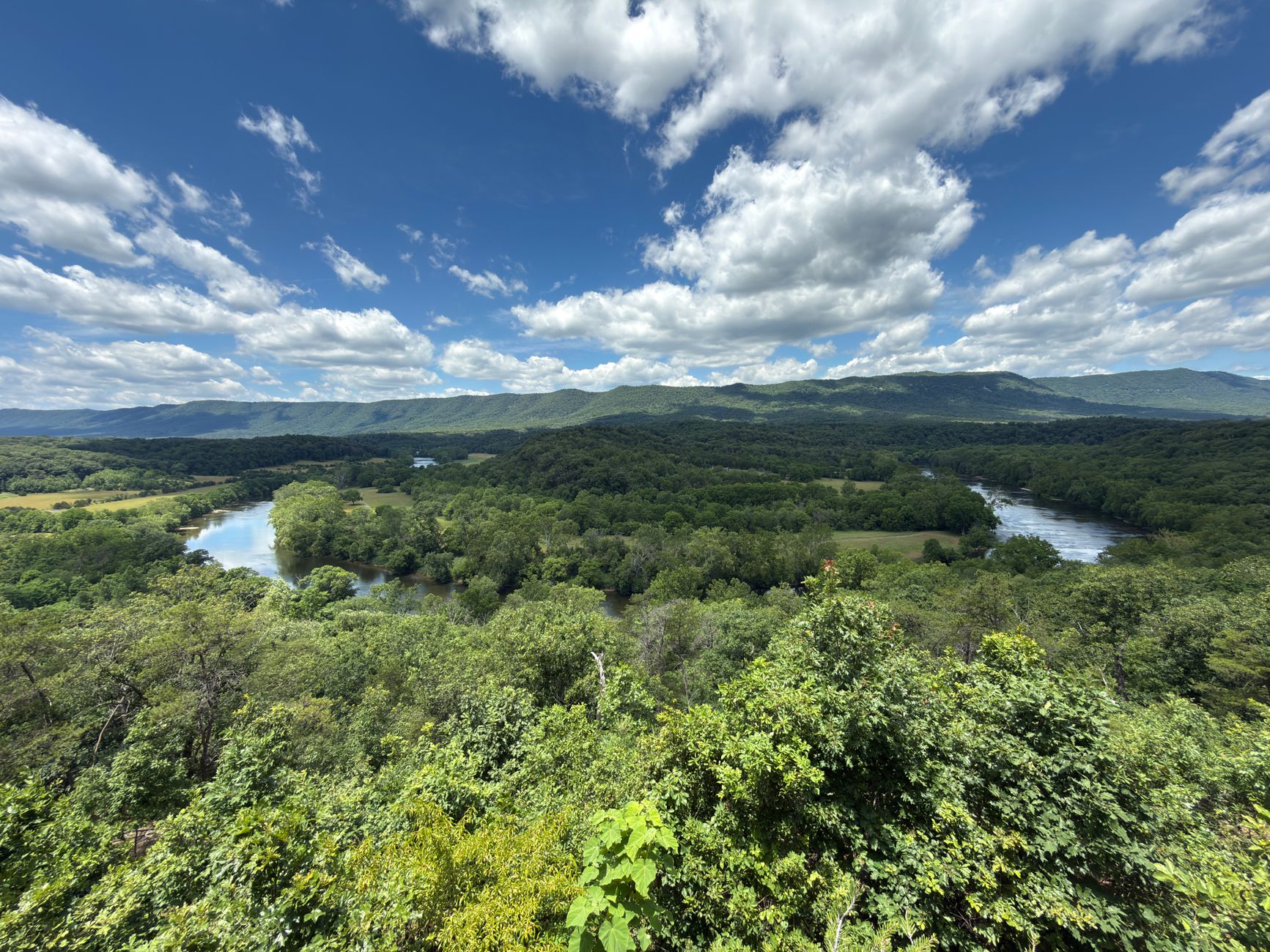
Scenes from the Full Virginia-to-North Carolina Run
Cordelie travel advisors
Planning Blue Ridge Parkway? Go with someone who knows
The right suite, the right season, the reservations that never appear online — your Cordelie advisor knows them, and holds them for you.
Plan with a Cordelie advisorFree to ask. Cordelie Travel Services · IATA/ARC 06649064
The Three Overlooks and One Climb That Stopped Me Cold
Every mile marker on this drive has a story, but a handful earned a second look. The Linn Cove Viaduct at mile 304.4 is the obvious headline — you can walk a short trail underneath it from the visitor center at its base and watch the whole structure float above the slope, no supports visible from certain angles.
Less obvious was Doughton Park at mile 241.1, which I almost skipped for being between two bigger-name stops. The Brinegar Cabin sits exactly where the Brinegar family left it in the 1880s, split-rail fence and all, and in late April the apple trees nearby were just starting to bud — a small, quiet scene with no crowd competing for the photo.
The hardest physical moment of the week was the Mount Pisgah climb on day five, not because the distance is long but because the grade doesn't let up for the full 0.8 miles up. I was glad for trekking poles I'd thrown in the trunk almost as an afterthought, and gladder still for the trail-running shoes with aggressive lugs rather than the flat-soled sneakers I'd worn on an earlier, flatter overlook walk.
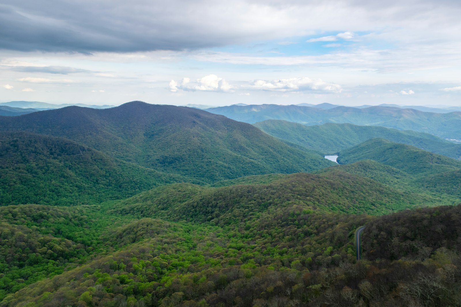
And then there was the light. Spring on the Parkway means the bloom line moves with elevation — redbud and dogwood were finishing at 2,000 feet near Waynesboro while the higher balds near Craggy Gardens and Richland Balsam were still weeks from their rhododendron peak. Driving south, I effectively drove backward through three weeks of spring in a single afternoon.
Pancakes, Pulled Pork and a Growler Fill: Eating the Parkway Corridor
The Parkway itself has almost no fast food and few chain anything — that's by design, and it's one of the drive's quiet gifts. Mabry Mill's restaurant at mile 176.2 is the one true destination meal directly on the road, and the buckwheat pancakes with sorghum syrup are the correct order, not the sausage biscuit.
Every other meal means a short detour, and they're worth taking. Floyd, Virginia, 15 minutes off the Parkway near mile 165, pairs the Blue Ridge Restaurant's diner-style lunch counter with Buffalo Mountain Brewing's taproom a few blocks over, and if your trip lands on a Friday night, the Floyd Country Store's Friday Night Jamboree is a cheap, loud, genuinely local bluegrass dance you shouldn't skip.
Blowing Rock, North Carolina, near mile 294, punches well above its small-town size — Storie Street Grille does a reliable mountain trout, and Blowing Rock Ale House & Inn is a good spot for a beer and a burger after a long driving day. Asheville, reachable near mile 382, is the trip's real food city: Buxton Hall Barbecue's whole-hog plates and Burial Beer Co.'s South Slope taproom make an easy, walkable pair for a last big night before the Parkway's final, quieter leg into Cherokee.
A trip this spread out — five days, 469 miles, lodges with limited rooms, trailheads that fill by mid-morning in peak bloom season — rewards planning that most travelers don't have time to do themselves.
A Cordelie advisor can secure the lodge rooms at Peaks of Otter and the harder-to-book inns in Blowing Rock and Asheville, time your days around seasonal road closures and bloom windows, and layer in private experiences — a guided foraging walk, a reserved table at Buxton Hall, a sunrise slot at an overlook before the tour buses arrive — that turn a very good drive into an unforgettable one.
Reach out at https://cordelie.com/contact and let them build the week around exactly how you want to move through these mountains.
Should You Drive the Blue Ridge Parkway's Virginia-to-North Carolina Stretch?
A five-day, 469-mile drive for travelers who want real mountain scenery, short strenuous hikes, and small-town America, not a highway with a view.
This trip rewards travelers who like to move: short, steep trails at Humpback Rocks, Linville Falls, and Mount Pisgah do most of the physical heavy lifting, and none of them are casual strolls despite how they photograph.
Spring brings a moving bloom line, lighter crowds than summer, and the real possibility of a closed section near Linn Cove Viaduct or Mount Mitchell if a late cold snap hits — check nps.gov/blri before you lock in lodging.
Best suited to drivers comfortable with no-shoulder mountain roads, hikers who want their reward views to feel earned, and anyone chasing an unapologetically American road trip over a packaged tour.

Marcus Rivera has spent fifteen years writing about places you have to walk into. He has guided in Patagonia, reported from Kilimanjaro's quieter routes, and has strong opinions about which of them are worth the airfare. He is based in Boulder, mostly so he can leave it.